 Island Park backcountry trails from above" fetchpriority="high" decoding="async">
How the Island Park trail system works
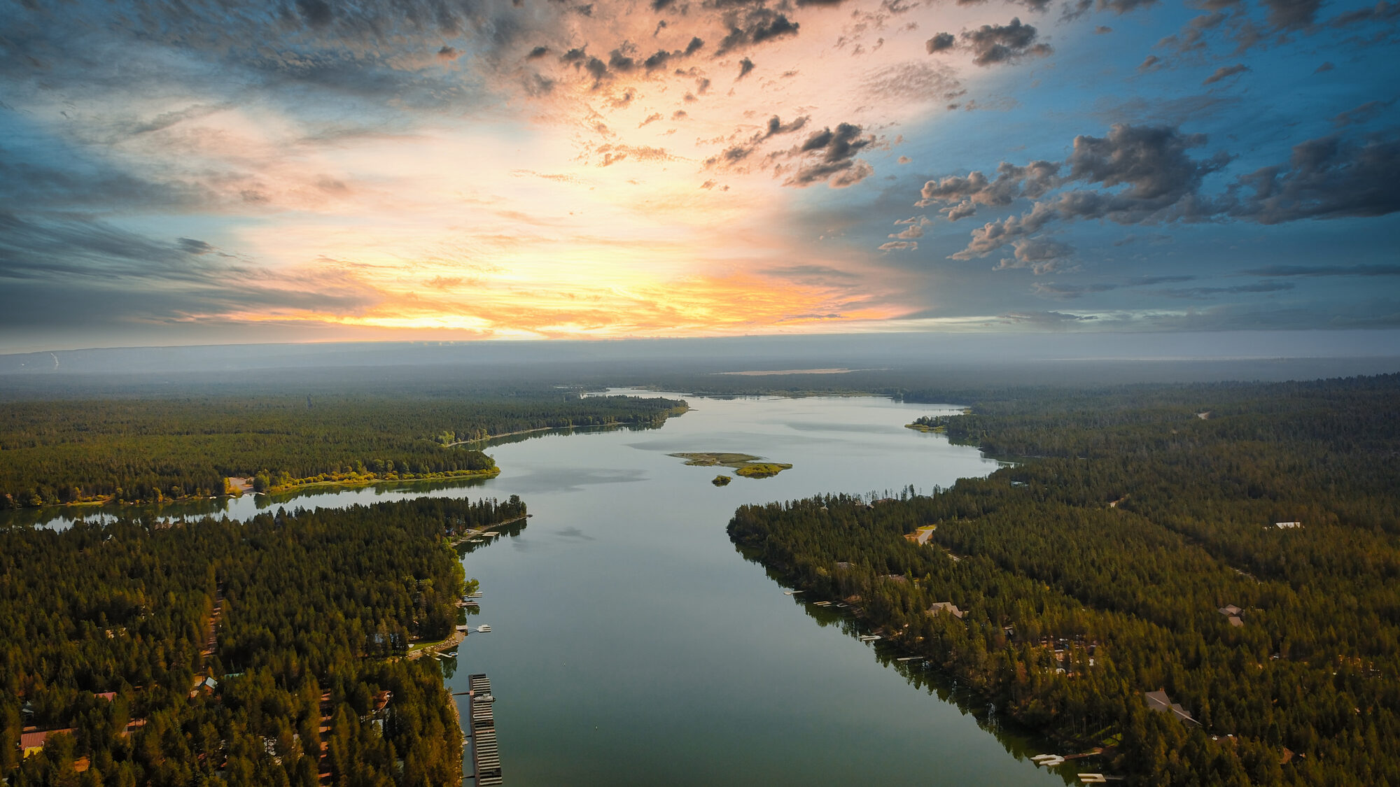
Hundreds of miles of motorized trail spider through the Caribou-Targhee National Forest in and around Island Park. The system is managed by the U.S. Forest Service, who publishes the authoritative Motor Vehicle Use Map (MVUM) for the Ashton/Island Park Ranger District. The MVUM is the only document that matters for legality — not the chamber maps, not the rental shop maps, not third-party trail apps. If your rig isn’t allowed on a specific trail per the MVUM, you can be ticketed.
Vehicle classes (per MVUM)
- Highway-legal vehicles: licensed and plated 4x4s, Jeeps, full-size trucks. Allowed on the widest set of roads/trails.
- Vehicles 50″ wide or less: most ATVs and side-by-sides (UTVs). The 50″ mark is the most common width restriction in the system.
- Vehicles less than 50″ wide: narrower trails — small ATVs, motorbikes.
- Motorcycles only: the narrowest single-track trails. Dirtbikes and dual-sport bikes.
If you’re renting a UTV (most rentals are wider than 50″): check the MVUM before riding. Wider UTVs are restricted to the broader road network and a smaller subset of the marked trails. Big-rig-on-narrow-trail violation is a $225 ticket per the Forest Service (36 CFR 261.13).
Where to get the official map
- Caribou-Targhee MVUM (Ashton/Island Park RD) — free PDF download from the USFS
- Avenza Maps app (mobile, free) — downloadable geo-referenced PDF so the MVUM works offline with your GPS position
- USFS Interactive Visitor Map — web map with current rules layered
The main riding areas
Sawtelle/Henry's Lake area (north)
The road network climbing toward Sawtelle Peak is the most-ridden area for ATV/UTV groups based in Island Park. Wide gravel roads suitable for full-size rigs, scenic high-country views, connecting paths up to the 9,866-foot summit (radar dome at the top — federal property, stay back). Side trails branch into Henry's Lake area and the Centennial divide.
Big Springs/Henry's Fork area (central)
Trails through the forest east and west of the Henry’s Fork. Mix of wider double-track and 50″-rated trails. The Buffalo River drainage has multi-day loop potential. Wildlife is dense in this area — moose and bears are routine.
Mesa Falls/Targhee Pass area (south & east)
Connects toward Mesa Falls Scenic Byway and Bechler Meadows. Less crowded than the Sawtelle side. Some routes connect into Wyoming national forest land via Targhee Pass.
Continental Divide corridor (high country)
Higher-elevation routes along the Continental Divide, connecting Idaho-Montana-Wyoming. These are not maintained for casual riding — expect rougher conditions, fewer signs, and longer distances between fuel and services. Plan day rides carefully.
Lionhead/Two Top area (in Montana, accessible from Island Park)
Across the state line into Montana’s Custer Gallatin National Forest. Lionhead is more technical motorbike/single-track country. Two Top is best known for snowmobile season but has summer single-track too.
Registration and licensing
Idaho OHV registration
Any off-highway motorbike or ATV/UTV operated on Idaho public lands must display a current Idaho OHV sticker. Non-resident OHVs need a non-resident OHV sticker. Buy at most local rental operators, at Idaho Parks & Recreation, or online at parksandrecreation.idaho.gov/activities/atv-motorbike/.
What rental customers usually don’t realize
Most rental UTVs and ATVs come pre-registered with the Idaho OHV sticker already affixed — if you’re renting, you don’t need to buy your own sticker. If you’re hauling your own machine from another state, you need a non-resident sticker before operating in Idaho.
Driver requirements
- No age restriction for ATV/UTV use on private land
- To operate on public roads (where allowed), a valid driver’s license is required
- Idaho has no formal OHV safety education requirement for adults; a course is recommended for first-time riders
- Helmets are not legally required for adults on most trails but are universally recommended
Road-legal UTVs
Some UTVs (with proper equipment: lights, mirrors, turn signals, plate) are licensed for limited on-road use in Idaho. Most rental machines are not road-legal — you must trailer them to the trail or ride only the gravel forest roads where mixed use is permitted.
Where to rent
Multiple Island Park-area operators rent ATVs and UTVs in summer. Confirm vehicle width and trail-eligibility before reserving — if you specifically want to ride the narrower 50″-restricted trails, ask for an ATV or a narrow UTV.
High Mountain Adventures
Year-round operator with summer ATV/UTV inventory. Guided tours available — the right call for first-time riders unfamiliar with the trail system and MVUM rules.
Polaris Adventures / Island Park
Polaris factory rental program with multiple Island Park outlets. New machines, full insurance options. Most Polaris rentals are 60–64" wide — verify MVUM trail eligibility for your planned route.
Island Park Backcountry Rentals
Local outfitter with year-round inventory across Polaris, Ski-Doo, and Arctic Cat. Multi-day rentals, guided options, and helmet/bib gear available.
Practical riding info
Best riding window
Mid-June through mid-October. Snow lingers above 7,500 feet into early June. Hunting season (mid-September to late October) brings more truck traffic; trails remain open but expect more shared use.
Conditions to check
- Active wildfire and smoke alerts — fs.usda.gov/visit/r4/caribou-targhee
- Recent rain — mud bog sections become impassable for 24–48 hours after heavy rain
- Hunting season notices — certain trails close during specific draws
Fuel
Most groomed routes are 20–40 miles from the nearest fuel station. Carry an extra fuel can if you’re heading toward Sawtelle’s upper trails or the Continental Divide. The Subway/Sinclair area at 4141 Sawtelle Peak Road is the most convenient mid-day fuel stop in the area.
Wildlife
You will share trails with moose, elk, and bears. Moose are particularly aggressive in spring (calves) and fall (rut). Keep distance. Carry bear spray accessible — not buried in a tool kit.
Cell coverage
Spotty to none on the higher trails. Download offline maps. Carry a paper backup.
Questions, answered
Can my rental UTV go on every trail I see on Google Maps?
No. Most Google Maps "roads" in the Caribou-Targhee NF are unsigned for vehicle class. The MVUM is the authoritative source. Many trails are restricted to narrower vehicles than typical UTVs.
What’s the difference between an ATV and a UTV for trail eligibility?
The Forest Service categorizes by vehicle width, not type. Most ATVs (4-wheelers) are under 50″. Most UTVs (side-by-sides) are 50–64″ depending on model. Wider equals more restricted.
Do I need a driver’s license for the trails?
For purely off-highway use on Forest Service trails, no — ATVs and UTVs can be operated without a driver’s license. For any on-road segments (gravel forest roads still count as roads in many cases), a license is required.
Can kids ride?
Yes, on private property and on most trails. Most rental operators set their own age minimums for drivers (typically 16+ or 18+). Children can be passengers from a younger age in side-by-sides with proper restraints.
What’s the most common rookie mistake?
Riding a wider UTV onto a 50″ trail. The fine is real, and so is the bigger risk: narrow trails are narrow because they were not built for wide rigs. You will damage trail, vehicle, or both.